Just enough snow fell again last week to cover streets and sidewalks – a reminder to slow down a bit. The four-lane stretch of highway south of Alliance helps drivers pass safely in less-than-ideal conditions. With the Morrill County segment set to open this fall, the Heartland Expressway continues to grow as a touted link in a Mexico-U.S.-Canada route promoting commerce and travel. There is a shorter (and more environmentally friendly) path between borders I would like to try.
New or expanded highways are big news. The State and Federal governments spend millions annually in Nebraska to maintain everything from two-lane ribbons through the Sandhills to I-80 linking Lincoln and Omaha. I remember covering developments in the Heartland Expressway for 20 years. Other transportation endeavors have snuck up on me. I was pleasantly surprised to learn that people, for more than a year, have been traveling a 2,200-mile hiking/biking trail passing through the western Panhandle.
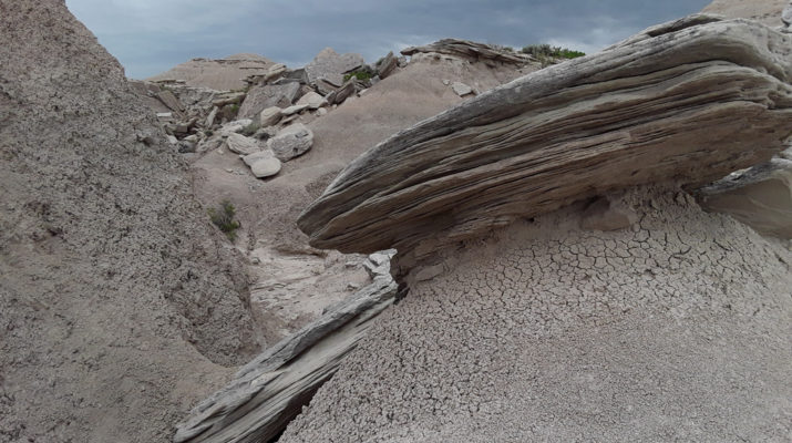
The Great Plains Trail (GPT) extends hundreds of miles north and south from “our backyard” up to Montana/North Dakota and down to Texas ending at our respective international borders. Since this through trail, comparable in size and scope to others such as the Appalachian or Pacific Crest, is still brand new, specific routes will continue to be modified as travelers offer input. When I heard about the GPT in the intro of a podcast, my first thought was I have to find the closest point to Alliance and try it. Turns out the program spent its time contrasting the prairie of the northern Panhandle, where the trail travels, with perceptions of our neighbors in the mountains of Wyoming and Colorado. I have spent many hours exploring the locals described by the host, including Fort Robinson, Agate Fossil Beds, Toadstool Park and The Pine Ridge Trail.
Though not mentioned in the podcast, the GPT offers a choice of routes through the Black Hills. Hikers and mountain bikers can opt for either the Centennial Trail or George S. Mickelson Trail – both more than a hundred miles long. On a bike I would suggest the latter because the path follows the former Burlington Northern ROW and can be completed in four days or less in favorable conditions. The Centennial Trail is more of a challenge for riders and there are sections that only allow foot traffic. An online map (dmines.maps.arcgis.com) will show the Mickelson Trail. Both S.D. trails are long enough to whet the appetite to see where else the GPT goes. In most areas though the path is not an actual “trail”. It may follow rural roads for miles and vehicle support is recommended, especially on the southern half, to help reach lodging, etc.
One of the best ways to appreciate the environment and truly see its condition, is to leave the highway and crowds of tourists. Northwest Nebraska was the topic in listening to the podcast mentioned above and reading the latest post on the GPT website. The radio reporter from Omaha, a long-distance hiker herself, was amazed at the landscape and terrain in our area while walking 15 miles a day. The through hiker she interviewed would not have believed Nebraska contained a “moonscape” (Toadstool) or towering Buttes (Fort Robinson).
Panhandle residents and communities, especially those right on the trail like Crawford, are already embracing the initial GPT visitors.
Often lumped into the Midwest, the Great Plains fit into the Oregon Trail chapter of our history for many Americans – if they know about our region at all. People who pass by on the Nebraska segment of the GPT will find solitude and hospitality hiking among bluffs and buttes, fields and rolling rangeland. Take as much time as you need to share “The Good Life.”

