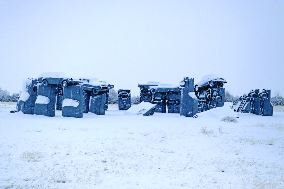
With about an inch of wet, heavy snow hitting Alliance on Friday, and another round of the white stuff blanketing the region this week, people have been left to wonder when the winter season will loosen its frigid grip on the Panhandle.
Jared Allen, Meteorologist with the National Weather Service in Cheyenne said that while warmer temperatures are expected next week, it is not uncommon for snow to enter the area in April.

“It’s relatively common,” said Allen. “In March to April, we usually see one, sometimes two, large spring winter systems. March and April are the snowiest months for the Nebraska Panhandle and portions of southeast Wyoming. It’s usually where we can pick up a good amount of moisture with heavy, wet snow. Much of southeast Wyoming and the Nebraska Panhandle are above average at the moment. I know Scottsbluff is 10 to 15 inches above normal at the moment for their season totals. Certainly portions of the Panhandle, especially northern portions of the Panhandle, they have been on the higher side of totals. So, we’re looking at good water supply coming out of the mountains for sure across the intermountain west, flowing down through the North Platte.
“One thing we’re going to have to be monitoring is for some potential river flooding and creek flooding as all this snow melts off,” Allen said. “Next week, we are definitely going to be warming up, so we will have to watch out for that, but in the long term, as we go into May and June, we’ll watch out for some elevated rivers and flooding.”

Chadron, Harrison and Lusk, Wyo. were expected to bear the brunt of this most recent snowfall, as of press time, with accumulative totals projected to reach 12 to 18 inches.
“We are looking at a sharp snowfall gradient, basically from the Pine Ridge going southwest and southeast,” said Allen. “The differences between Chadron and Alliance could be pretty significant, actually, where we’re looking at more of four to upwards of nine inches for the Alliance area.”
Allen explained that travel was expected to be impacted as the storm rolled through the region, advising people to be cautious if they need to venture out.
“As far as travel conditions go, especially if anyone is going from Alliance north or looking to try to get to Chadron, or travel further to the west, toward Douglas (Wyo.), it’s going to be very challenging, and the travel will continue to deteriorate through the day (Monday) and linger through much of the day (Tuesday). There could even be local impacts that go all the way into Wednesday, depending on how much snow actually occurs. There could be snow drifts from three to five feet in some areas for northern Sioux County and possibly Dawes County, then across Converse and Niobrara Counties (Wyoming) as well.”